Locate the viewing area
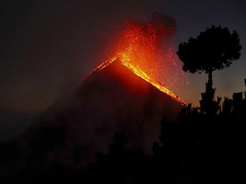
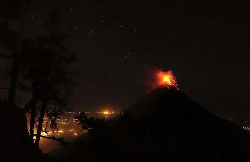
Fuego is a separate volcano on the other side of the saddle from Acatenango. An Acatenango camp that opens toward Fuego can give you a view from its own benches or cleared space. One tent itinerary puts its Acatenango camp a little under the tree line, facing Fuego and the Antigua valley. A cabin operator also describes watching from its Acatenango camp after arrival. These examples tell you what the itinerary provides at camp. They make no promise about the direction of each room or tent. For a seated view or a place to wait out wind, use the layout in the camp accommodation guide.
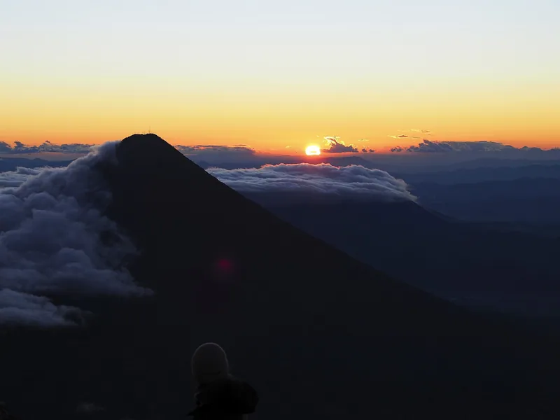
Start by working out whether the package walks to a camp or simply climbs and comes back during the day. Both can pass through sections of slope with views in the right conditions. The overnight lets you look at several times from one approved area. The Acatenango summit is an additional climb of its own. You can often use the camp viewpoint while the summit group rests or hikes, if the guide’s camp arrangements allow that.
| Planning point | Published detail |
|---|---|
| Fuego and Santiaguito1 | The 25 June CONAP notice prohibits ascent |
| Fuego crater and El Camellón2 | CONRED directed people to stay out on 3 August 2026 |
| Volcanic activity3 | Date-specific reports record conditions at Fuego |
| Camp facing Fuego4 | One La Soledad itinerary places the viewing area in its own Acatenango camp |
Where the camp faces
That tent camp sits at about 3,750 m, a little under the tree line, and its operator writes of seeing Fuego and the valley from it. Another operator describes watching from its Acatenango camp at about 3,600 m. The altitude number alone cannot tell you how much of the mountain you will see. The camp’s direction, a bank of clouds between two slopes and where your group is permitted to wait all affect the view. Look for a photograph or description from the actual common area. A photo taken by a photographer at the summit may appear beside a cabin booking without showing what you get at camp. Old Town Outfitters tent itinerary · Explore Acatenango camp description
There are also two different angles to consider if you care about pictures. From camp, you can often return to the same spot after getting food or warming up. On the summit walk you spend part of your usable light getting there and leave when the guide needs to go down. You can start at camp, identify Fuego’s outline and decide afterward whether a more open panorama is worth another walk. For a group divided by fitness or sleep plans, make the camp viewpoint the shared part of the trip.
Follow the access notices
CONAP’s 25 June 2026 notice prohibits ascent of Fuego and Santiaguito. CONRED’s 3 August Fuego notice also instructs people to stay out of the crater area and El Camellón. A tour may still be published with a leg that goes toward that ridge or changes mountains. Read the named path in its itinerary, including paid options and activities offered at the camp. The Fuego closure guide follows the agencies and explains what a change in access would look like.
The daily INSIVUMEH volcano bulletin describes activity. Use the current date in the bulletin archive before relying on the report. A photo or an alert summary copied from an earlier day cannot tell you what is happening during the hours you will be at camp. A drop in recorded activity does not supersede the access notices. The guide may also shorten the scheduled walk or move the group because of conditions on Acatenango itself. Stay in the location your guide assigns to the group if visibility or access changes.
Reading the activity report
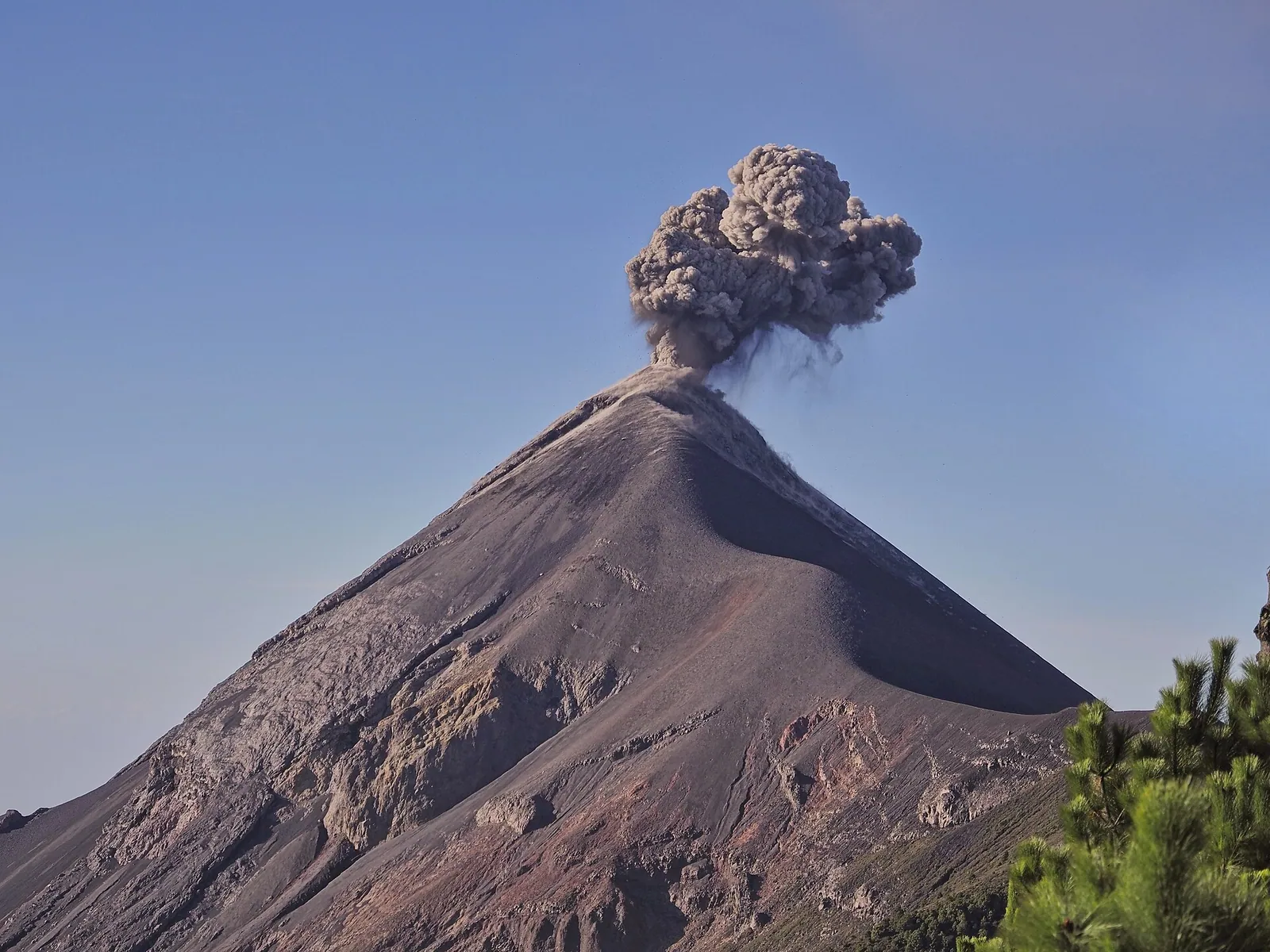
INSIVUMEH’s October 4 daily bulletin describes weak and moderate explosions, mixtures of ash and gas, and plumes reaching between about 4,500 and 4,800 m above sea level during that reporting period. The reported altitude is where material reached in the air, not the height of the ground it rises from. A CONRED update in February used a different range and plume height for its observation period. Read the current report for observed conditions during your trip. Neither set of figures tells you whether your camp will have a window through the cloud or at what time you will get a clear look. INSIVUMEH 4 October observation · CONRED February observation
The agency also maintains a volcanic camera page and daily activity reports. Use the timestamp and location label when you look at an image. The camera’s lens has its own sightline. A cloud can cover that view and pass before you reach camp, or hide Fuego from camp while the camera elsewhere shows a plume. The reports provide context for what you might be seeing across the valley. The access decision rests with the authorities and your guide.
Watch through changing cloud
Cloud between an observer and Fuego can hide the crater even when the ground around camp is dry. Look across the valley when the guide first shows you the sightline. A changing view through cloud gives occasional windows, whereas a solid bank can last for much of the time you are outside. Walk only within the area assigned for viewing. Moving toward the other volcano does not solve a broad cloud bank. The weather guide compares the rainy season, dry season and forecast for each leg of the hike.
At dusk, there may be enough light to identify the ridgeline and see the details of a plume. From the same place after dark, the mountain can be harder to locate against the sky. Have your guide point out the outline in daylight. A distant glow can be easier to distinguish in darkness, but cloud and a bright moon affect contrast. An overnight gives you another chance after dinner and around dawn. Those are separate chances to look from the same place, without a promise of continuous activity.
Settle in before sunset
Bring a lamp for the uneven ground between your sleeping area and the viewing site. Keep it pointed at the trail near other watchers. If you intend to take pictures, brace a camera against a stable surface in the permitted area and make room for other hikers. A phone view can be enough to retain the shape of the volcano in daylight even when the camera cannot capture faint activity after dark. Take some time to look without a screen, especially when visibility briefly opens.
The wait is colder than the climb because you are standing still. Change out of the dampest walking layers before dinner. Bring a layer for your shoulders and put a hat, gloves and lamp where you can reach them. Go back to the bunk if you are getting too cold and look again later. You can decide on the Acatenango sunrise walk independently of that evening’s view. Someone who saw Fuego from camp may choose to sleep longer instead of climbing in the dark.
Evening and dawn windows
| When | What you can do from camp |
|---|---|
| Arrival in daylight | Find the common area and have the guide point out Fuego’s silhouette and the route back to your bed. |
| Late afternoon | Look for plume shapes or see which side of the mountain the cloud is covering. |
| After dinner | Return to the same area with a lamp and dry layers if group arrangements and conditions allow. |
| Before going down | Take another look in daylight, even if the evening view stayed hidden. |
If cloud breaks briefly, use the terrain you saw in daylight to get your bearings. A bright nearby headlamp or a brightly lit phone can make it harder for your eyes to pick out a small glow beyond the valley. Point the lamp down for walking, then turn away from other lights when you are standing still. A phone is handy for recording the shape of the mountain in daylight. For a night picture, a supported camera on a stable spot in the approved viewing area gives you time to frame that same outline. Keep the route back from the viewpoint free for guides and other hikers.
December or January can give you a drier trip and a colder wait. In the rainy season, a later window between clouds might come after the first look from camp. A person who arrives with a damp shirt and waits an hour will cool down even if the forecast for Antigua feels warm. Change before deciding how long to stay out, and use the warm place the guide assigned if you are getting uncomfortably cold.
Choose a viewing plan
Use your time on the mountain as the part you can plan. Pick a camp with a documented viewpoint, reserve the evening for looking from there and let the morning guide make the summit call. If you only have a day, choose a route that still interests you as a walk when a cloud hides Fuego. Forest, farm slopes and the view back toward the Antigua valley are features of the Acatenango route in their own right. Plan for a clouded-out visit before you compare trip prices, so you know what you would be paying for in those conditions.
If a booking is sold mainly on an eruption photo, read the itinerary from the Antigua departure to the return before using the photo to judge it. Find the trailhead, camp and any extra leg. Read the cancellation terms for a changed departure and which part of the route the operator can shorten on the day. Use those terms for your decision and the official notices for access.